

Launch weekend:
Day one
After our class, we went to strait to the hotel. But there was a buzz of excitement in the air. Our two teams, Astro Peeps (4 members) and Icarus (4 members) were about to launch payloads way up in the atmosphere. But first, we had to get past the evening of presentations and get some rest.
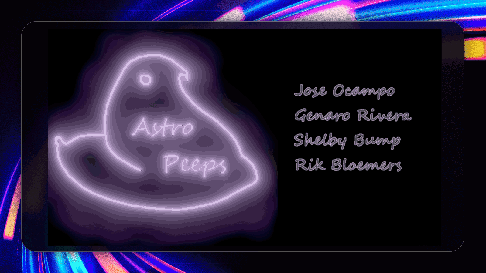
Astro Peeps of Glendale community collage
Presentation
Genaro Rivera, a member of Astro Peeps have provided this presentation.
Then we had to rest for the journey ahead...

QR code to share this website!

The data
Total flight Height: 96,000 Feet
Launch location

Balloon Launch Videos
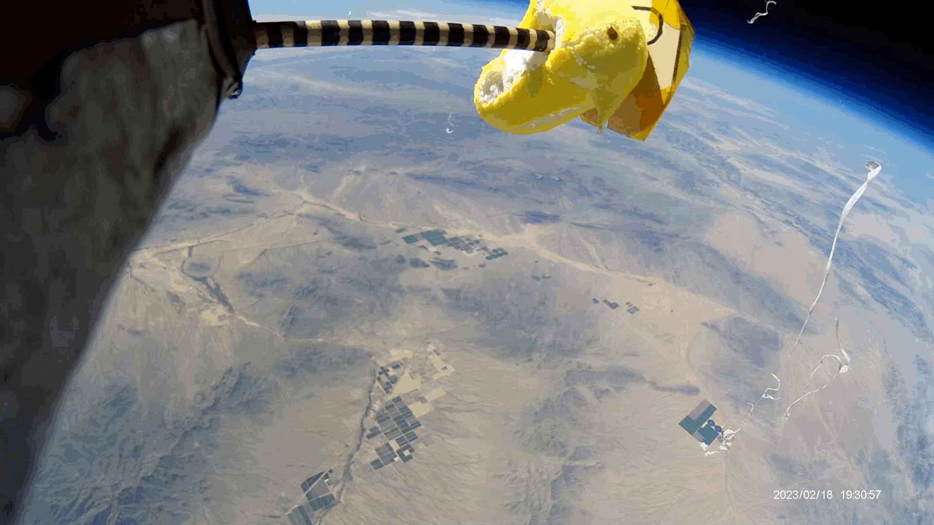
Peep says goodbye to us
This still was created from one of the videos the payload took. (it takes 18 minute long videos the entire duration of the flight).
I (Rik) thought it was funny as the peep looks like its looking down at us almost perfectly below it. At this vantage point you have a great view of both balloon teams. We are in the white van second from the top right corner.

Balloon in flight

Its the white speck in the red circle near the bottom of the screen.

We meat in Aguola, AZ and waited most the day for the location to find out that it was on the side of the mountain.
We had to hike up the mountain to get the payload. We got to it and was back in our vehicles by 18:00.
Flight path: https://www.gpsvisualizer.com/display/20230404150732-32033-map.html
GPS Coordinates:
$GPGSA,A,3,46,17,19,06,24,01,11,14,30,13,15,,1.43,0.79,1.19*0E
$GPGSV,3,1,11,01,13,039,36,06,39,161,42,11,07,189,25,13,28,230,42*74
$GPGSV,3,2,11,14,43,073,44,15,16,260,41,17,63,029,44,19,78,278,42*78
$GPGSV,3,3,11,24,25,314,39,30,28,149,41,46,47,206,41*44
$GPGLL,3404.24671,N,11318.36642,W,190131.00,A,D*7F
$GPRMC,190132.00,A,3404.24633,N,11318.36799,W,6.086,252.29,010423,,,D*78
$GPVTG,252.29,T,,M,6.086,N,11.272,K,D*09
$GPGGA,190132.00,3404.24633,N,11318.36799,W,2,11,0.79,1341.0,M,-28.1,M,,0000*51
Landing Location


Payload data and recordings
The payload data graphs are below

The graph on the top left is pressure v/s time; it shows the atmospheric pressure around the payload at the given time.
The graph on the top right is the temperature v/s time; it shows three sensors. The outside sensor is blue and got so cold that the sensor got to its threshold temperature. The inner sensor (yellow) (near camera) got as hot as 175 degrees Fahrenheit, and finally, blue is the seeds sensor.
The mid top left purple sensor is the RF receiver and orange is altitude, The green graph is the battery power of the payload.
The graph on the bottom middle left is altitude and RF receiver voltage
The graph on the bottom middle right; is the accelerometer showing y forces on the payload. Rik came up with a formula to show how much the payload spins.
The last 2 graphs are from the CO2 sensor and they show CO2 ppm and humidity per minute.

Payload videos and Pictures
Before and after peep pictures for peep expansion measurement, the peep expanded just over a quarter inch.
Notice in the right picture we also got a picture of balloon fragments after it burst.
Side camera
This full mission video has been edited by Rik Bloemers to accentuate the important features of the flight. He sped up the video during slow parts of the mission and slowed it way down during the balloon pop and scenes of the earth from around 97,057 feet!
Full length film below (over an hour long)
Slow motion video
This video is of the peep high above the earth right before the balloon burst! This video includes the burst which you don't see, but what you do see is fragments of the balloon flying by as the payloads lose momentum.